Hiking in the Vulkan Eifel
The Vulkan Eifel is a hiking paradise – with waymarked trails through forests, over volcanic cones and along maare. Whether a leisurely stroll or a challenging day hike, there is something for everyone here.
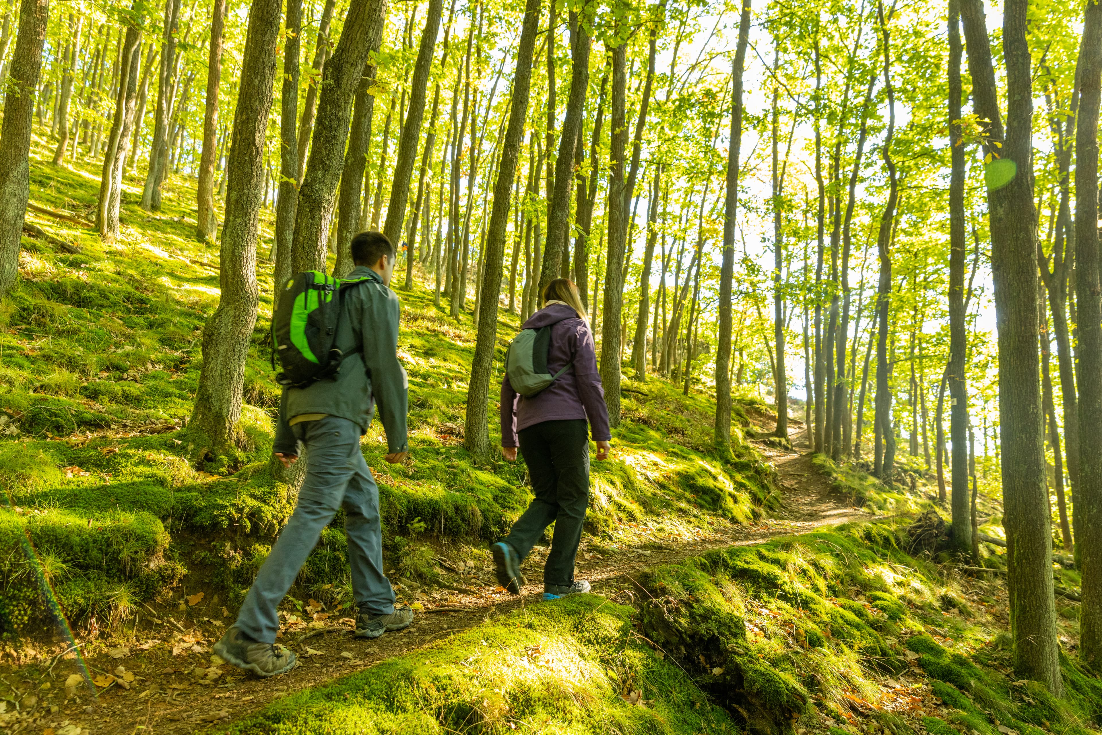
© Eifel Tourismus GmbH, D. Ketz
Maar-Runde Daun
The classic: all three Daun Maare connected in one loop through shaded forest paths and meadow sections.
Start: Gemündener Maar car park
Eifelsteig Stage 9
Part of the award-winning Eifelsteig long-distance trail – varied through forests, stream valleys and volcanic cones.
Start: Daun train station
Vulkanpfad Strohn
Family-friendly walk around the Strohn Maar – with information boards on volcanic geology.
Start: Strohn (Maarbad)
Hochkelberg Loop
Up to the highest volcanic cone in the Eifel – with wide panoramic views across the entire region.
Start: Kelberg
Lieser Valley Trail
Through the romantic Lieser Valley with the Manderscheid castle ruins – one of the Eifel's finest valley walks.
Start: Manderscheid
Our hiking tips
- 💡 Maps: Kompass Wanderkarte Vulkaneifel (1:50,000) – available in Daun
- 💡 App: Komoot & Outdooractive with offline maps recommended
- 💡 Best hiking season: May–October, autumn particularly beautiful
- 💡 Hiking poles recommended for steeper sections
- 💡 Eifelsteig passport: available at the Daun tourist office
Lauschtour Grüne Hölle
The Lauschtour 'Grüne Hölle' (Green Hell) is a multimedia experience trail through the wild-romantic Lieser Valley. Interactive audio stations along the way tell stories from nature, local legend and Eifel history. The starting point is Manderscheid – about 15 minutes by car from MaarZeit.
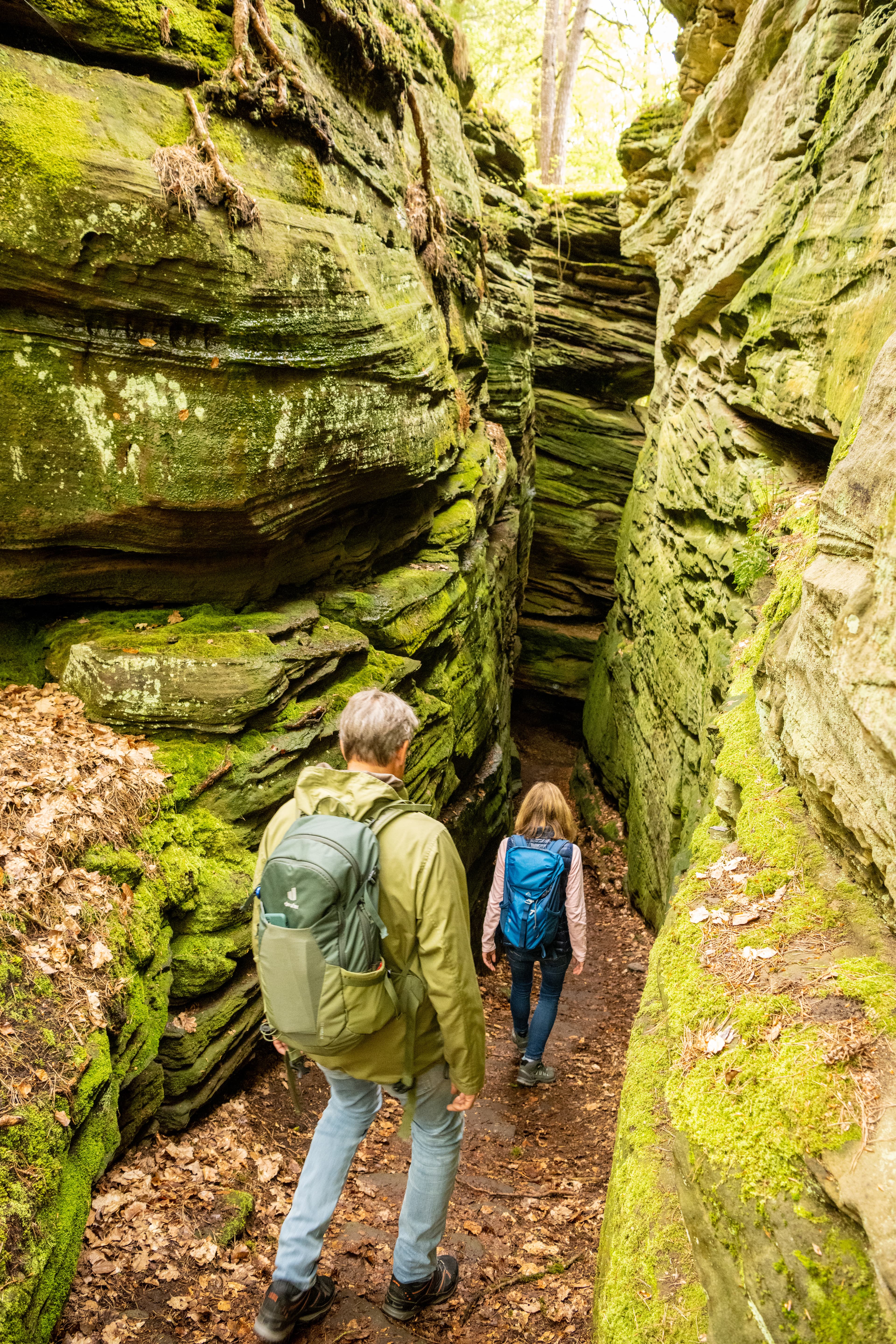
© Eifel Tourismus GmbH